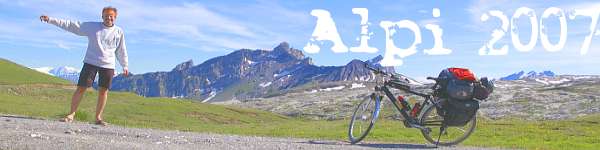


Passo del San Gottardo
Oberalppass
Ticino - Uri - Grischun (Graubünden)
Javascript-free version - click the menu bar for full function version
 |  |
 |
| Val Bedretto - All'Acqua (1614 m - 5295 ft) gegenüber / opposite: Alpe Formazzora links / left: Pizzo Grandinagia (2774 m - 9101 ft) | Val Bedretto - All'Acqua Ospizio | Val Bedretto - All'Acqua - hinten die St.-Gotthard-Strasse / in the background the St. Godhard Road |
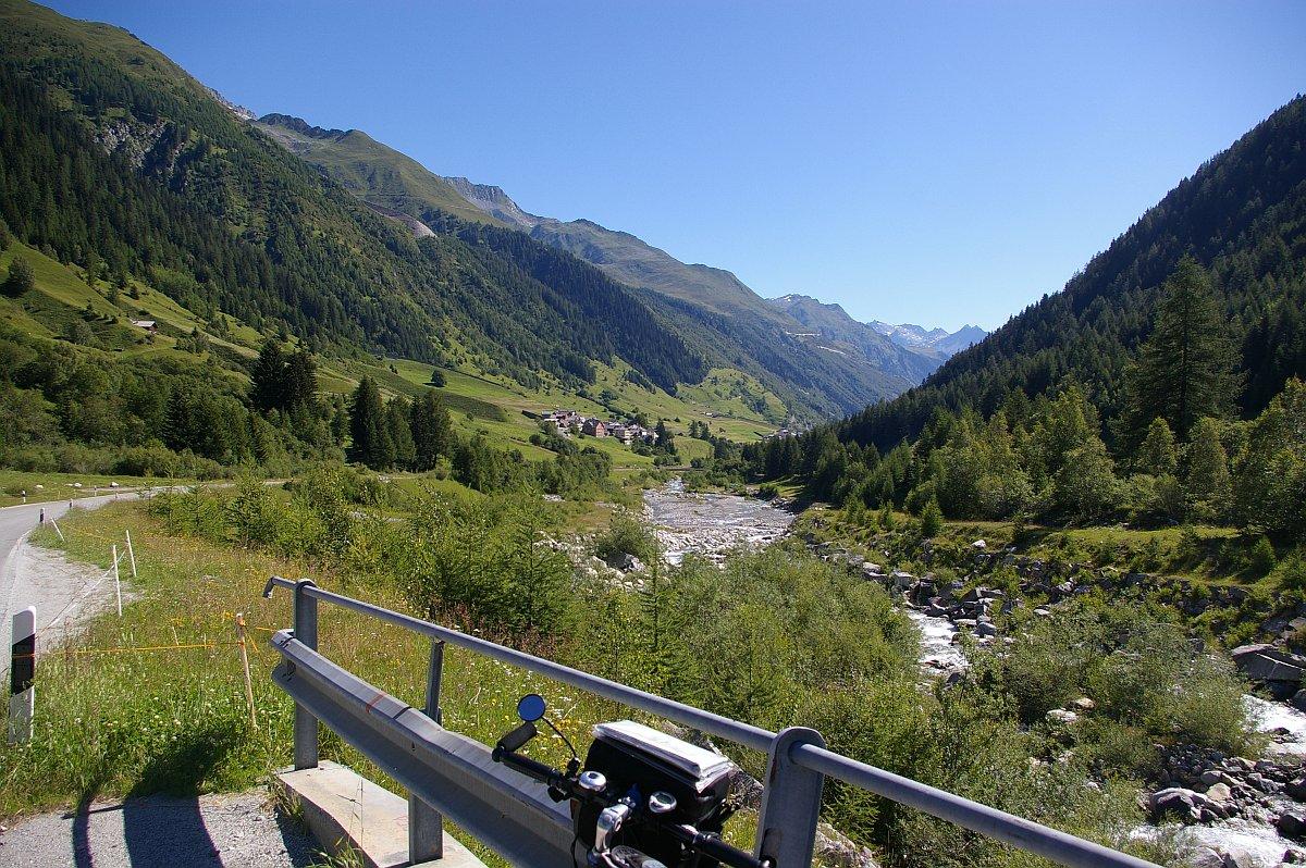 | 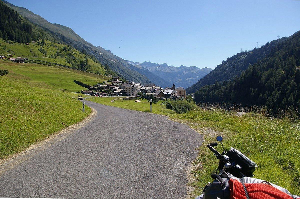 |  |
| Val Bedretto - Fiume Ticino - Bedretto villagio (1402 m - 4600 ft) - | Val Bedretto - Villa (1313 m - 4308 ft) | Val Bedretto - Villa - hinten über Kirche / background above church: Punta di Elgio (2837 m - 9308 ft)- rechts / right: Poncione di Ruino (ad Pizzo Rotondo, 2965 m - 9728 ft) |
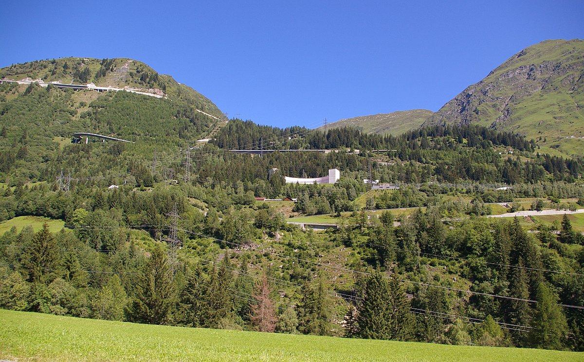 |  |  |
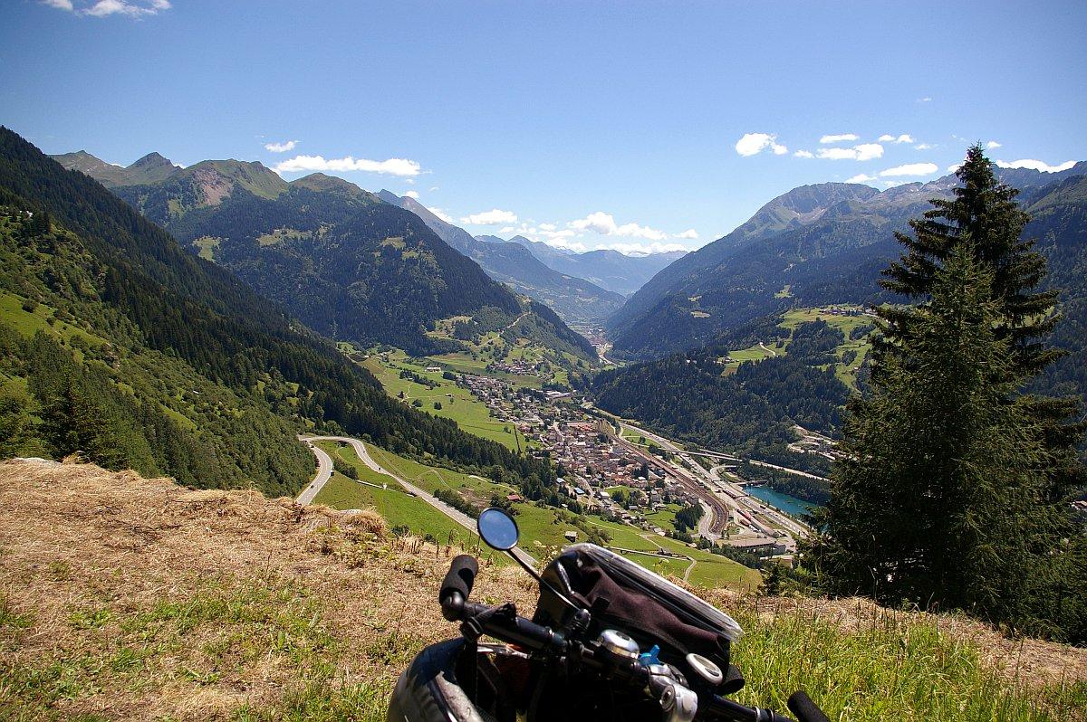
| Strada San Gottardo - Airolo: Fondo del Bosco - Bedrina (ca 1300 m - approx. 4300 ft) Gotthard-Aufstieg beim Forte Airolo (Mitte rechts, kaum sichtbar) in der Mitte die neue Bedrina-Kaserne Godhard ascent above Airolo at the Forte Airolo (middle right, hardly visible) center: the new Bedrina casern | Val Bedretto - Airolo (1159 m - 3802 ft) - Strada San Gottardo - Pizzo Rotondo (3192 m - 10472 ft, hinten 2. von rechts / rocks in the back, 2. from right) | Strada San Gottardo - Airolo - Val Leventina - Galleria del San Gottardo |
 |  | 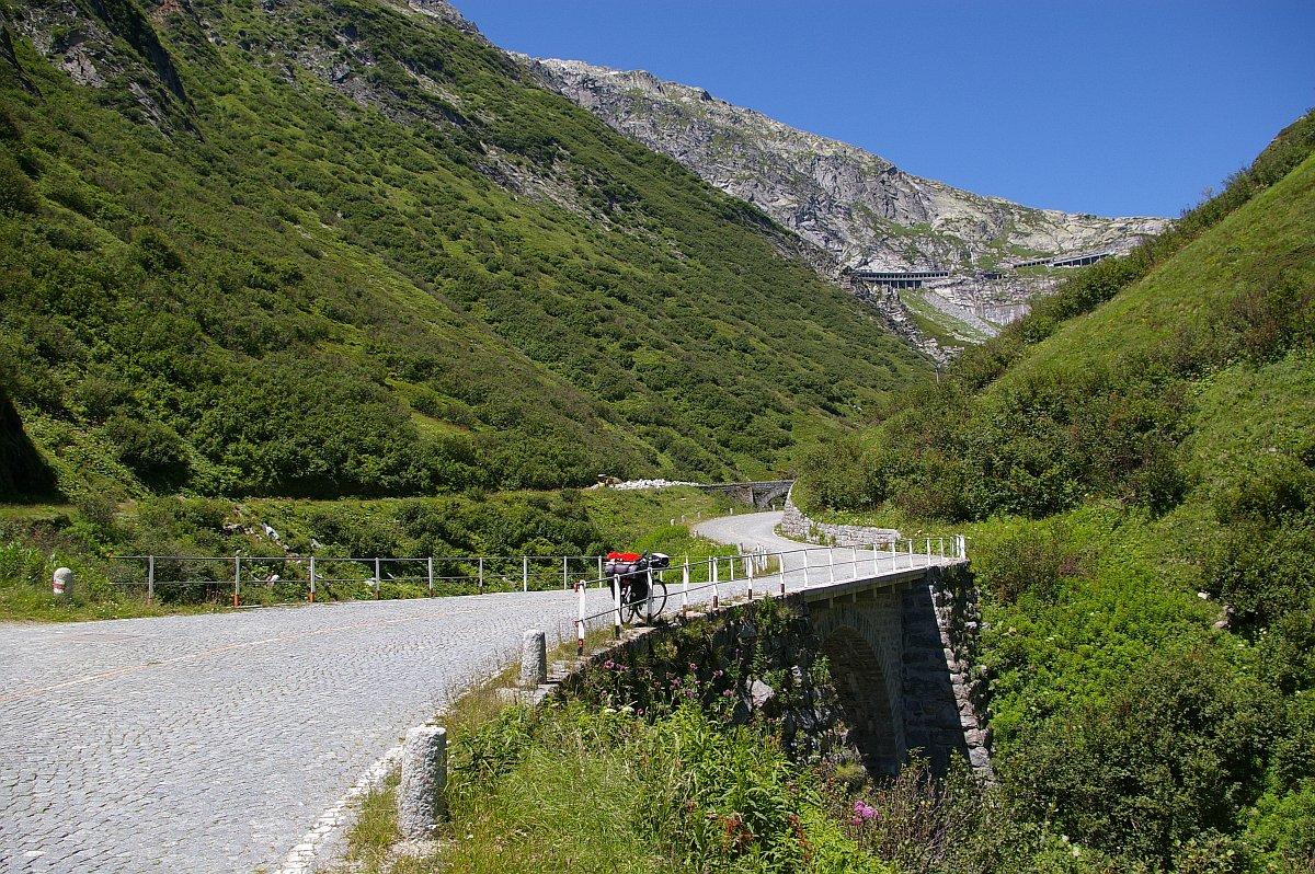 |
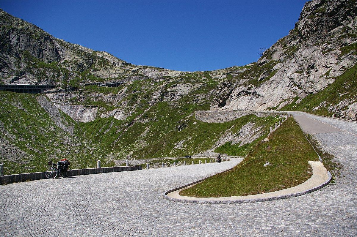
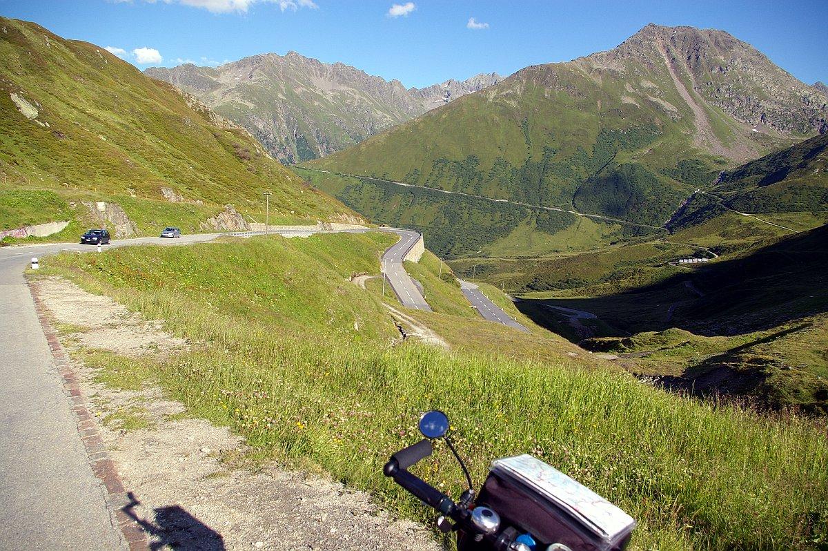
| Strada San Gottardo - Airolo - Val Leventina | Strada San Gottardo - Forte Motto Bartola (1527 m - 5010 ft) | Strada San Gottardo - Val Tremola |
 |  | 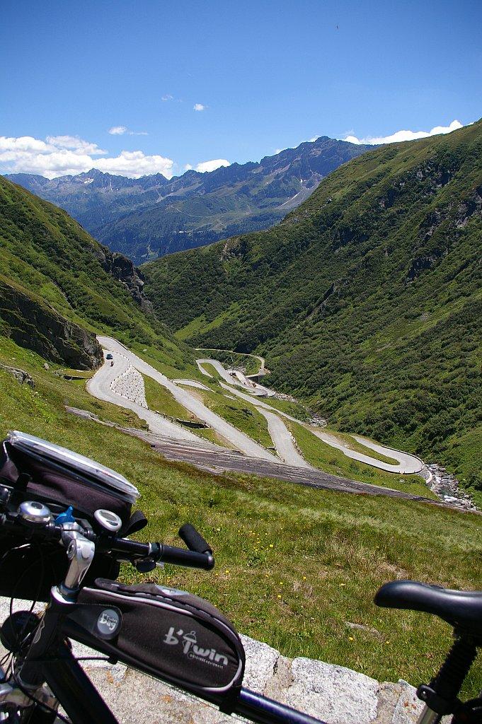 |
| ^ Strada San Gottardo - Val Tremola ^ | ^ Strada San Gottardo - Val Tremola ^ | Strada San Gottardo - Val Tremola - Pizzo Massari (links / left, 2760 m - 9055 ft) - Poncione di Vespero (rechts / right, 2717 m - 8914 ft) |
 | 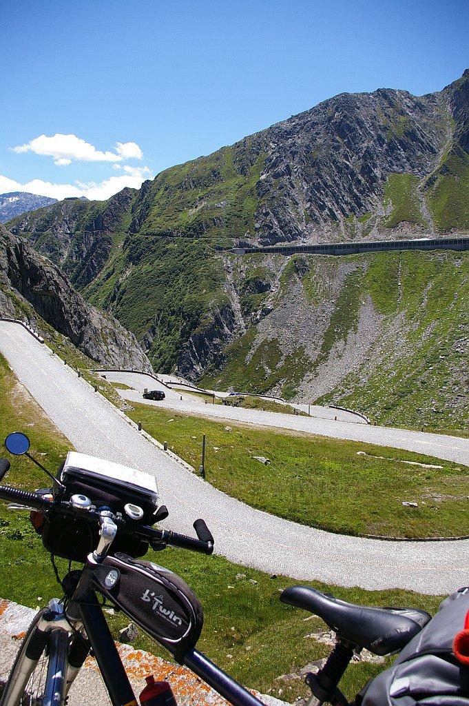 |  |
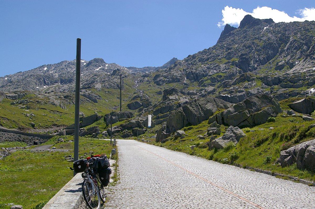
| Strada San Gottardo - Val Tremola - Fibbia | Strada San Gottardo - Val Tremola | Strada San Gottardo - Val Tremola |
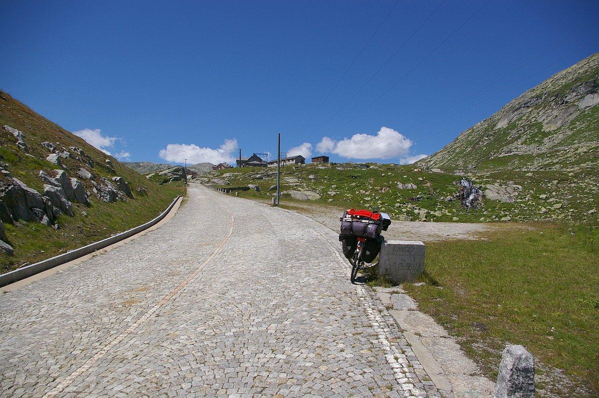 |  | 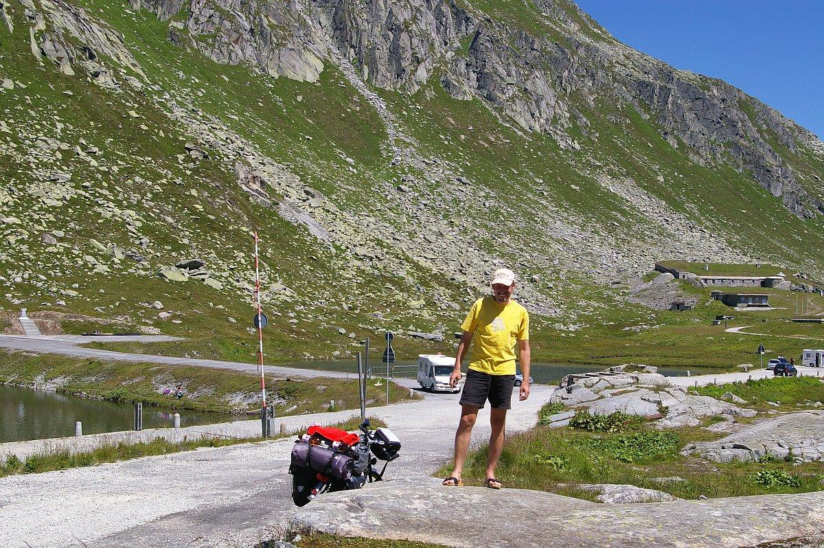 |
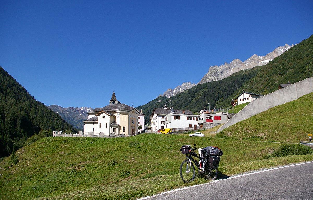
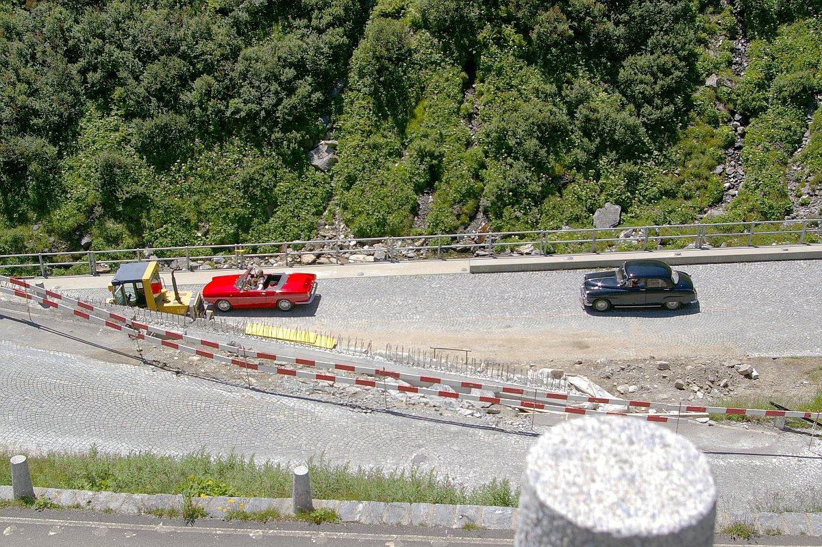
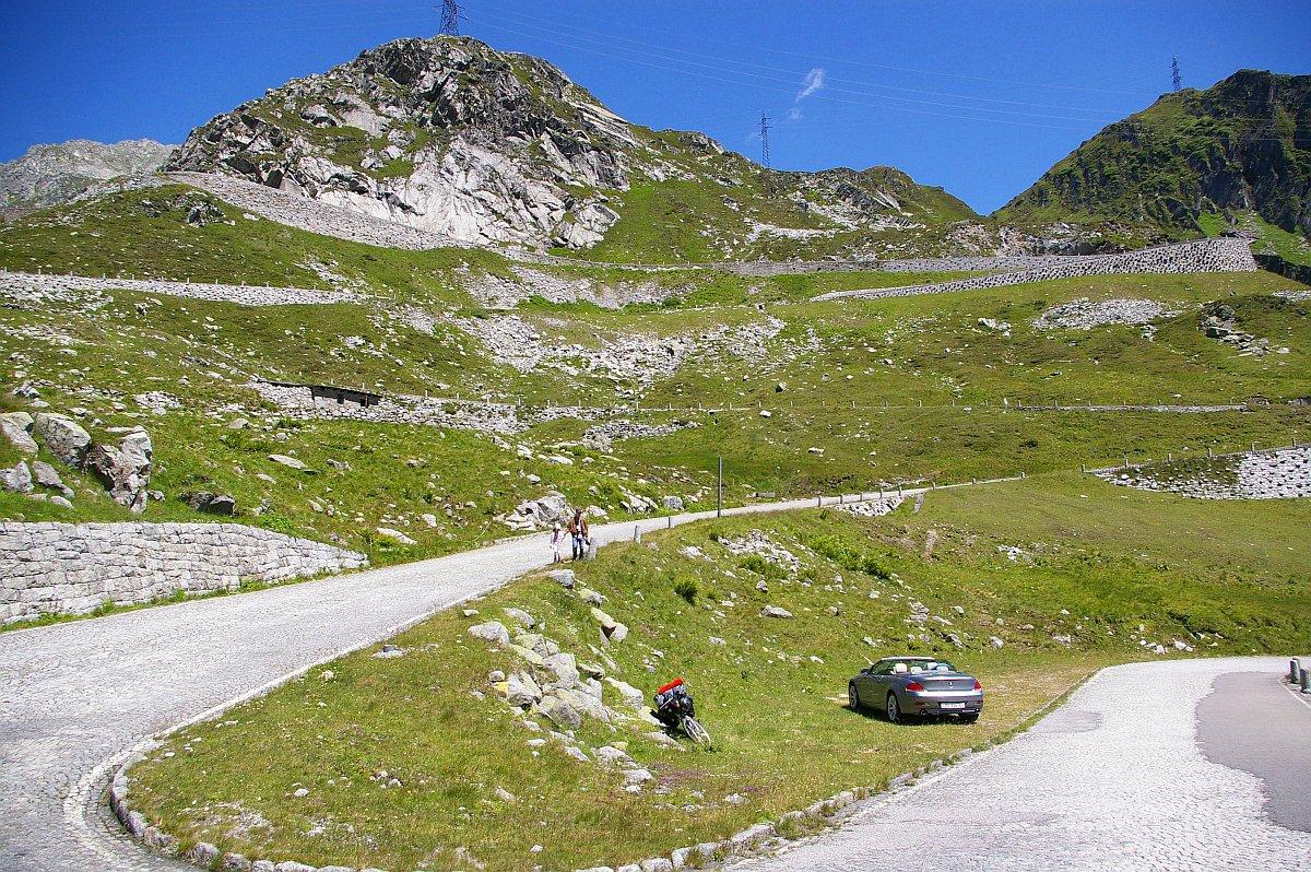
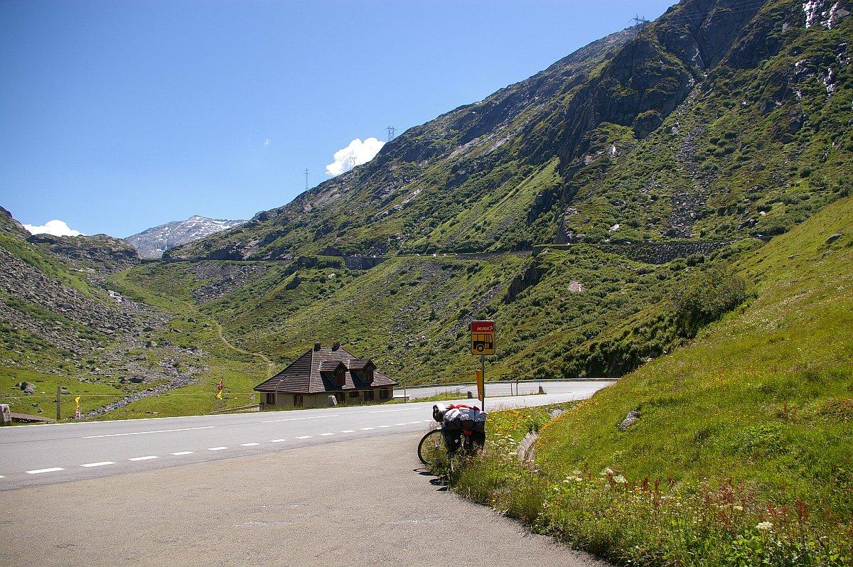
| Passo del San Gottardo | Passo del San Gottardo (2109 m - 6919 ft) | Passo del San Gottardo |
 |
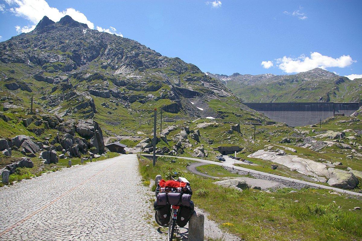 |  |
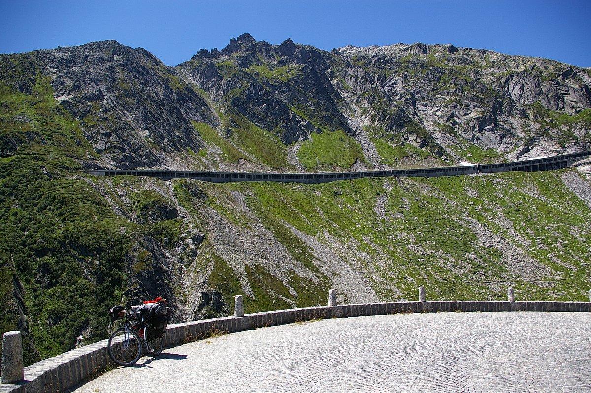
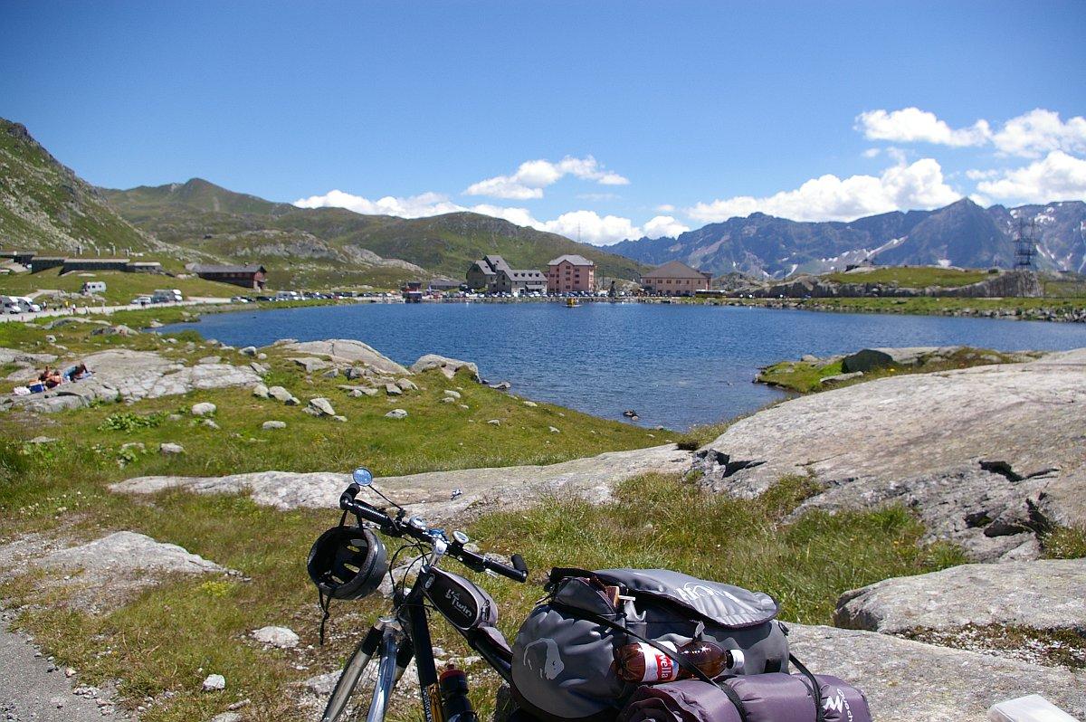
| Passo del San Gottardo - Pizzo d'Orsino (links / left, 2661 m - 8730 ft) - Blauberg (rechts / right, 2619 m - 8592 ft) | Passo del San Gottardo - Lago di Lucendro (2134 m - 7001 ft) - Pizzo della Valetta | Passo del San Gottardo - Fibbia (2739 m - 8986 ft, links / left) Pizzo della Valetta (2726 m - 8944 ft, rechts / right) |
 |
 |
 |
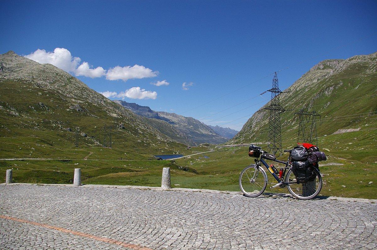
| Strada San Gottardo verso nord | Strada San Gottardo verso nord Rodont (1969 m - 6460 ft) | Strada San Gottardo verso nord - am Grenzeintritt zu Uri / passing the frontier to Uri Mätteli (Häuser / houses, 1773 m - 5817 ft) Gotthardreuss - Brunnenstock (2888 m - 9475 ft, hinten rechts / background right) |
 |
 |
 |
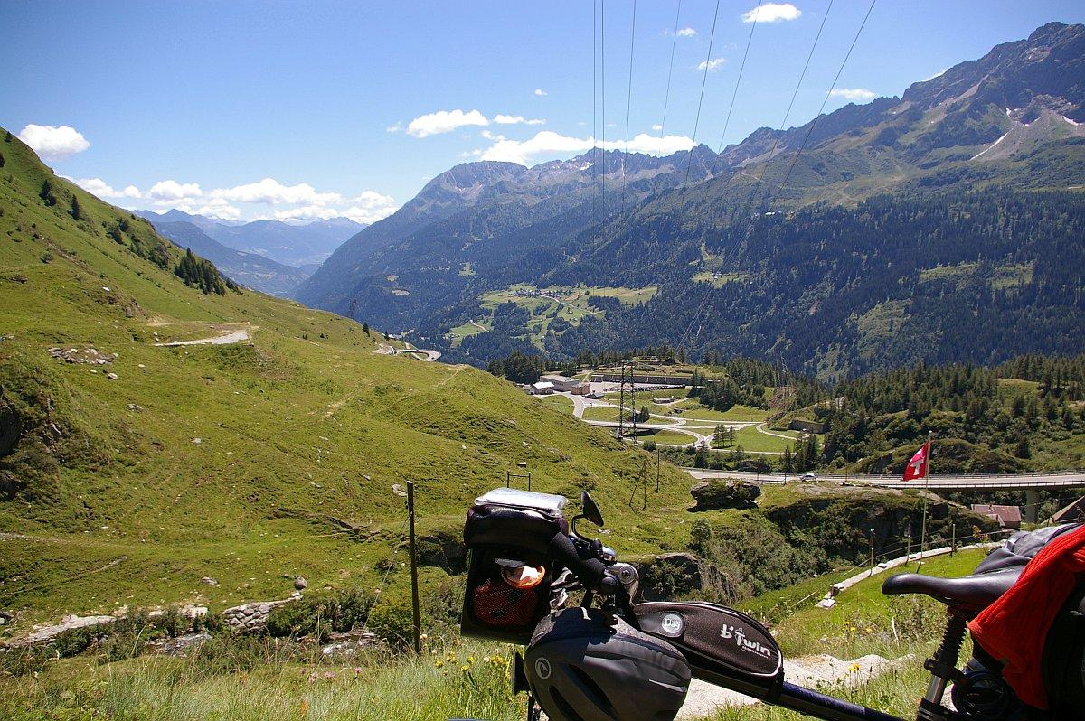
| Strada San Gottardo verso nord - Mätteli - Fibbia (hinten /backgr.) | St.-Gotthard-Strasse - Andermatt (1447 m - 4747 ft) - Oberalpstrasse (gegenüber am Hang / opposite on the slope) | Oberalpstrasse - Andermatt - Urserental / Valley Urseren - am Talende / at valleys end: Furka (2431 m - 7976 ft) - Pizzo Rotondo (hinten halblinks / half left in the back) |
 |
 |
 |
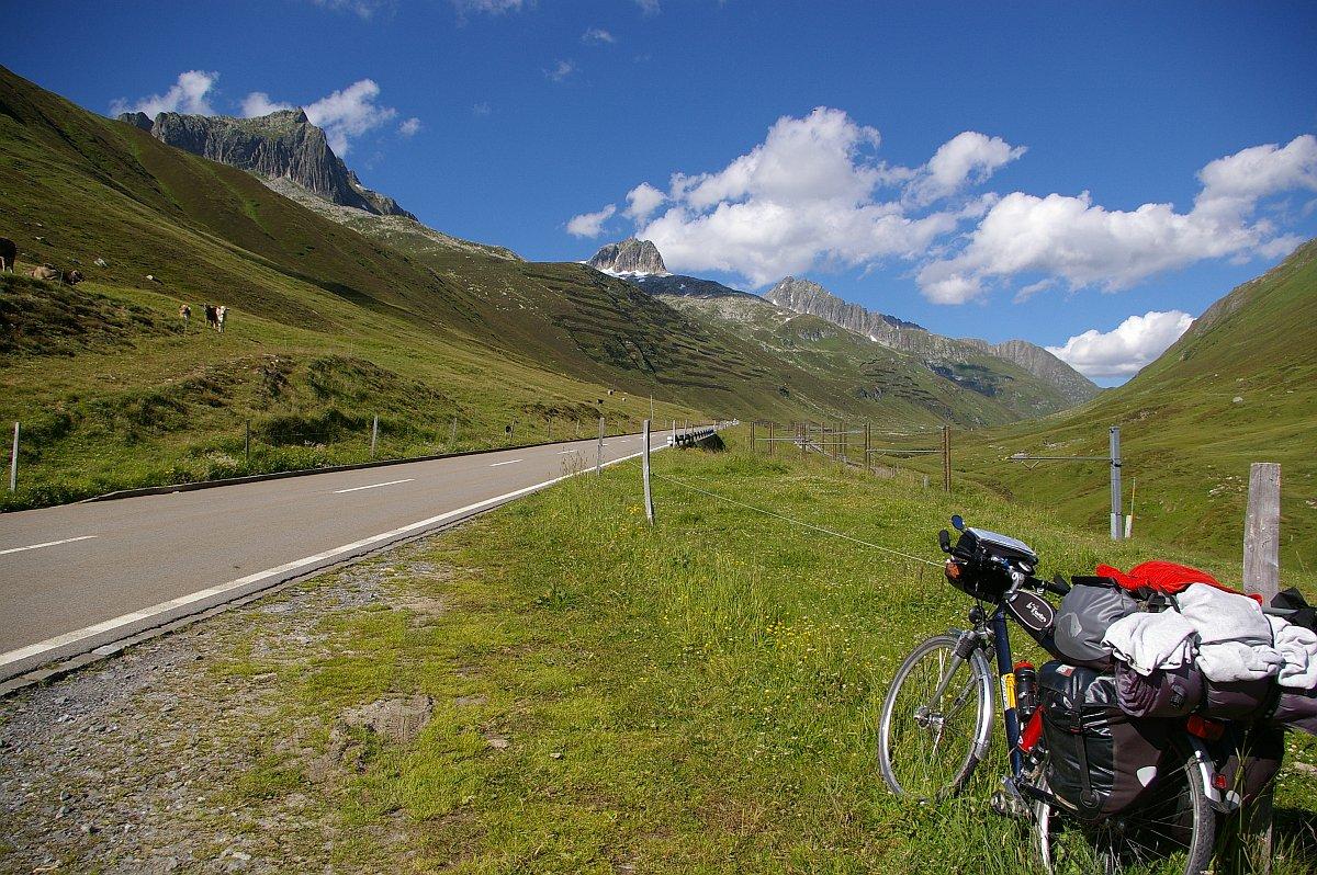
| Oberalpstrasse - Oberalp - von links /from left: Gross Schijen (2786 m - 9140 ft) - Schneehünerstock (2773 m - 9098 ft) - Piz Tiarms (2918 m - 9573 ft, 3. von links / from left) | Oberalppass (2044 m - 6706 ft)- Oberalpsee - Gross Schijen (links / left) - Schneehünerstock (Zacken Mitte / spike center) - Fellilücke (ganz rechts / most at right) | Oberalpstrasse - Abstieg in die Surselva / descent to Surselva - rechts am Hang der junge Rhein: Rein da Tuma right at the slope the early River Rhine: Rein da Tuma - Mitte /center: Piz Maler - rechts /right: Piz Cavradi |
Übersicht Val Bedretto San Gottardo - Oberalp >> back to subindex >> | ||
 Rainer Jehl Rainer Jehl |
| <<< zurück back |
Karte / map | Pilot | Kleine Ausfahrten Small Rides |
weiter >>> next |